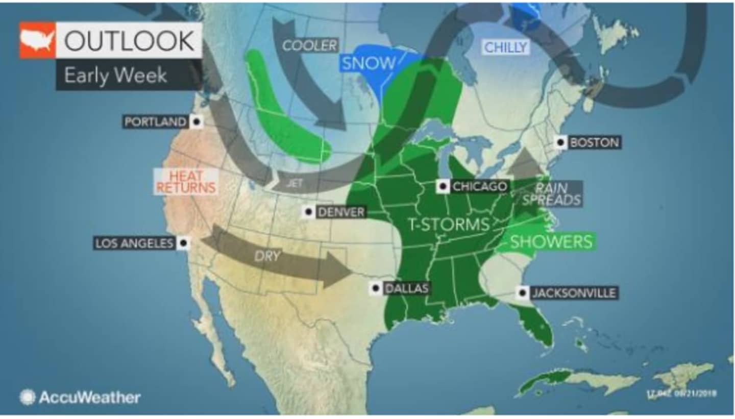
While the storm has been ripped apart by strong winds, some of its showers and thunderstorms will loop back toward the East Coast early next week, according to AccuWeather.com.
Nevermind "Florence." Call it Frankenstorm.
But this time, the strength of the storms will be a fraction of what Florence brought.
After a dry stretch of days in this region Saturday through Monday with partly sunny skies and a high temperature around 70 degrees each day, the showers will arrive Tuesday, mainly after noontime, according to the National Weather Service. Tuesday's high temperature will again be around 70.
Showers are likely to continue through around midnight.
Showers and thunderstorms are likely Wednesday afternoon on a warmer day with a high near 80.
The showers and storm chance continues Wednesday night.
It will dry out on Thursday with partly sunny skies and a high in the low-70s.
Check back to Daily Voice for updates.
Click here to follow Daily Voice Mount Vernon and receive free news updates.